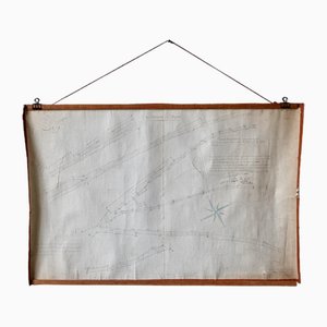
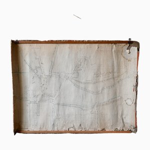
French N°2 Cadastral Plan, 1933
Price:
€160
Regular Price:
€260
Sale
You are now following Charts. You can manage alerts in your account settings.
You have unfollowed Charts.
French N°2 Cadastral Plan, 1933
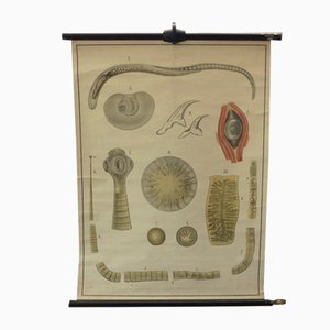
Vintage Scientific Educational Panel by Paravia Torino, 1960s

Vintage Scientific Educational Panel by Paravia Torino, 1960s

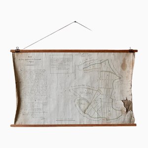
French Plan of 1788, 1825
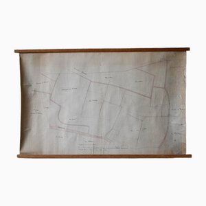
Old Map of Etupes, 1833
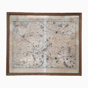
North of France Map, 1710s
American Red Cross Map of Italy, First World War, 1919

Wall Decoration Map, 1833
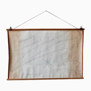
Les Chemins de Mr Deschamps Chart
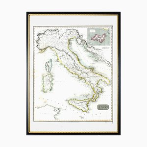
Map of Italy Drawn & Engraved by R. Scott for Thomsons, Edinburgh, 1814
Healthy Teeth Jaw Head Human Body Poster Rollable Wall Chart Print

Antique Human Skeleton Anatomical Wall Chart

Vintage Skeleton of Reptiles Snake Lizard Turtle Crocodile Pull-Down Wall Chart

Vintage Swedish Skeletons Anatomy of Amphibians Pull-Down Wall Chart

Vintage Crop Diseases Botanical Poster Pull Down Wall Chart

Vintage Educational Tapeworm Anatomy Chart, 1930s
Map of Paris, Original Etching, 19th Century

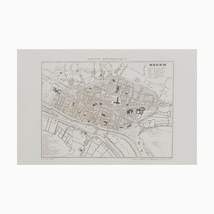
Unknown, Map of Rouen, Original Etching, 19th Century
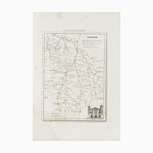
Unknown, Map of Vienne, Etching, 19th Century
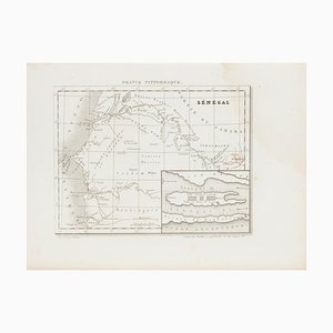
Unknown, Ancient Map of Senegal, Etching, 19th Century
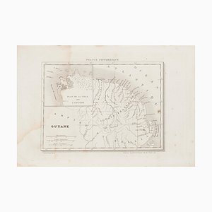
Unknown, Ancient Map of Guyane, Etching, 19th Century
Unknown - Price - Map of Seine - Original Etching - 19th Century
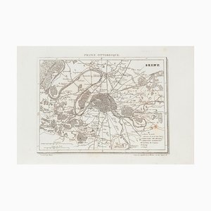
Map of Seine - Etching - 19th-Century

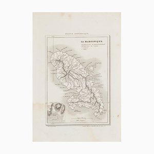
Map of Martinique - Etching - 19th-Century
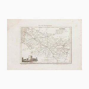
Unknown, Map of Somme, Etching, 19th Century
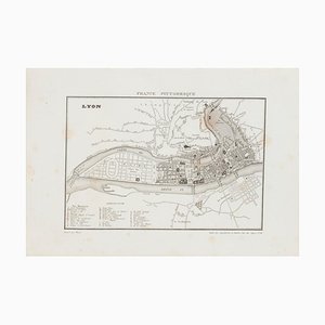
Unknown, Map of Lyon, Etching, 19th Century
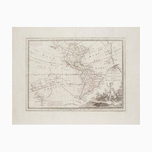
Unknown - The Americas - Vintage Map - 18th century
Unknown, Map of Seine, Etching, 19th Century

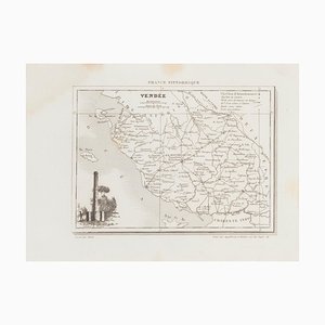
Unknown - Map of Vendée - Original Etching - 19th Century
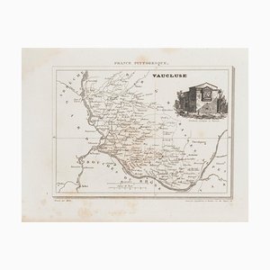
Unknown - Map of Vaucluse - Original Etching - 19th Century
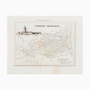
Unknown, Map of Pyrénées, Etching, 19th Century
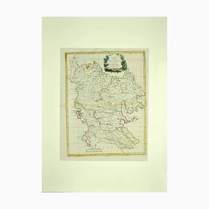
Antonio Zatta, Map of Greece, Etching, 18th Century
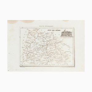
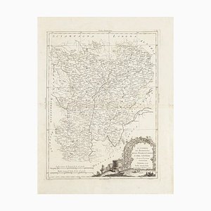
Unknown - Map of Puy De Dome - Original Etching - 19th Century
Unknown - Map - Original Etching - Late 19th Century
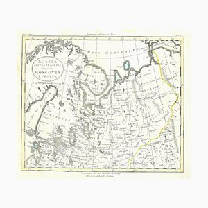
Unknown - Map of Persia - Original Etching - Late 19th Century

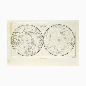
Unknown - Map of Polar Regions - Original Etching - Late 19th Century
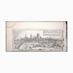
Munchen, Antique Map from ''Civitates Orbis Terrarum'' - 1572-1617 1572-1617
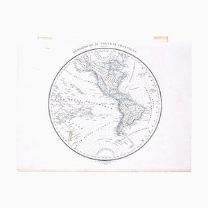
Hemisphere Of The New Continent - Ancient Map by J.G. Heck - 1834. 1834
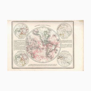
Hemisphere Of The New Continent - Ancient Map by J.G. Heck - 1834. 1834
Windsor, Antique Map from ''Civitates Orbis Terrarum'' 1572-1617
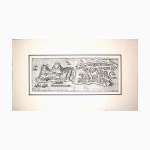
Danzig, Antique Map from ''Civitates Orbis Terrarum'' - 1572-1617 1572-1617
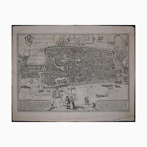
Utrecht, Antique Map from ''Civitates Orbis Terrarum'' 1572-1617
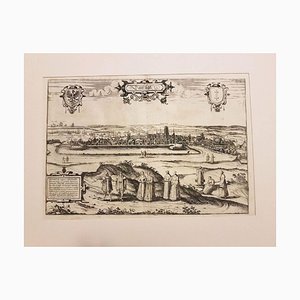
Corfu, Big Antique Map from ''Civitates Orbis Terrarum'' - 1572-1617 1572-1617
Bilbao, Antique Map from ''Civitates Orbis Terrarum'' - by F.Hogenberg - 1572-1617 1572-1617
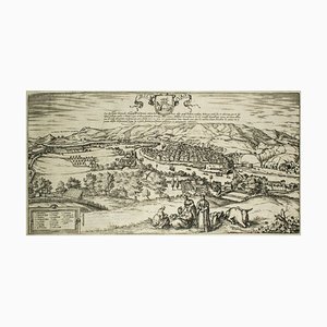
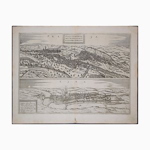
Prague and Egra, Antique Map from ''Civitates Orbis Terrarum'' 1572-1617
Nuremberg, Big Antique Map from ''Civitates Orbis Terrarum'' - 1572-1617 1572-1617

Li Governi di Borgogna - Original Ancient Map - 1777 1777
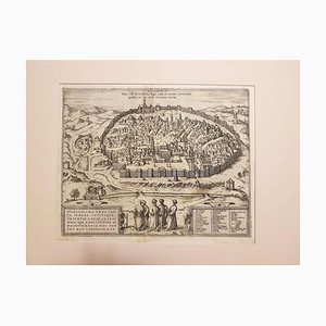
Jerusalem, Antique Map from ''Civitates Orbis Terrarum'' - 1572-1617 1572-1617
Trending