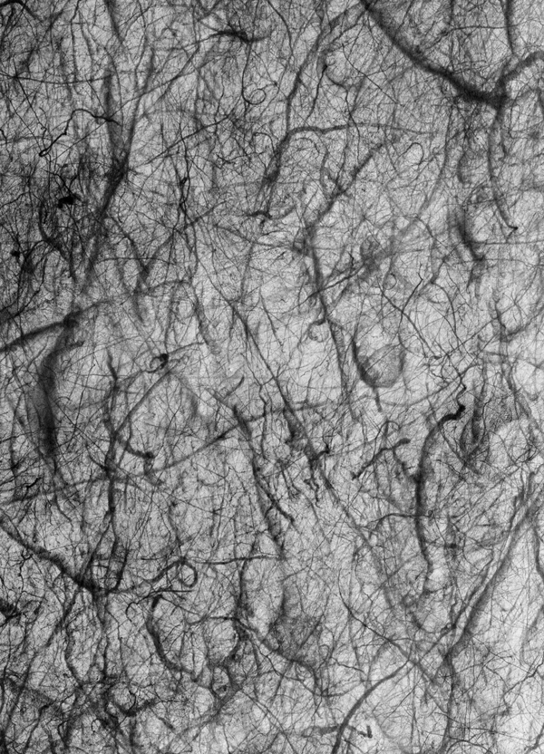
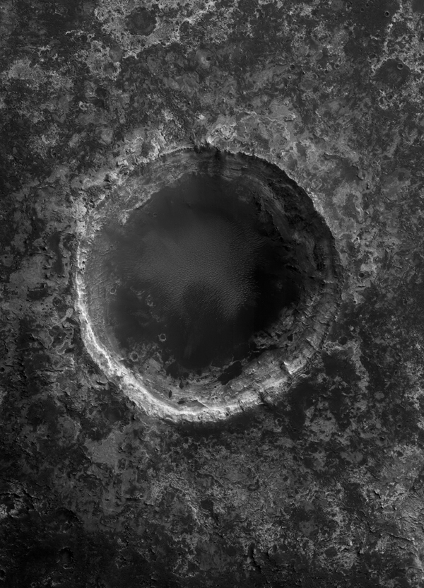
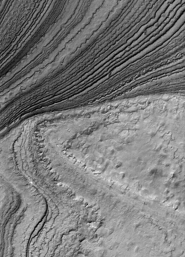
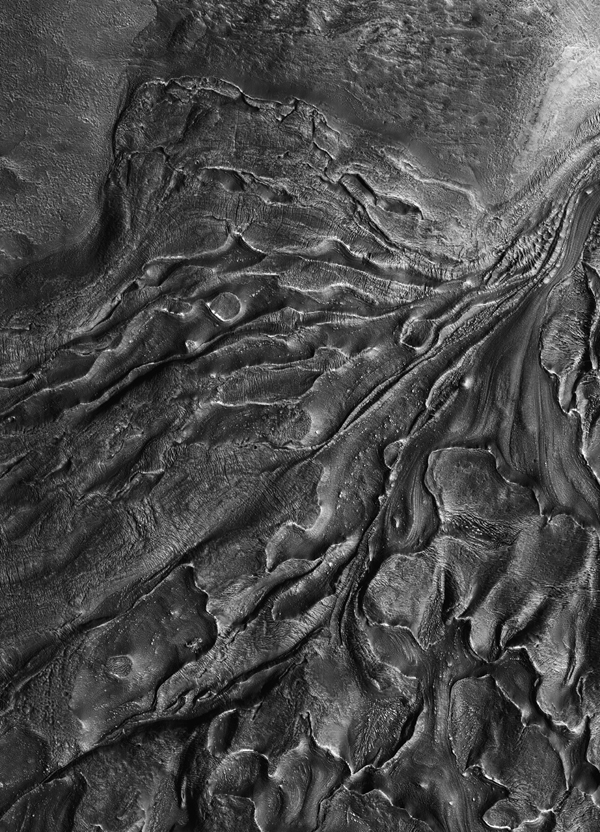
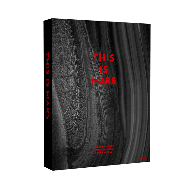
This Is Mars
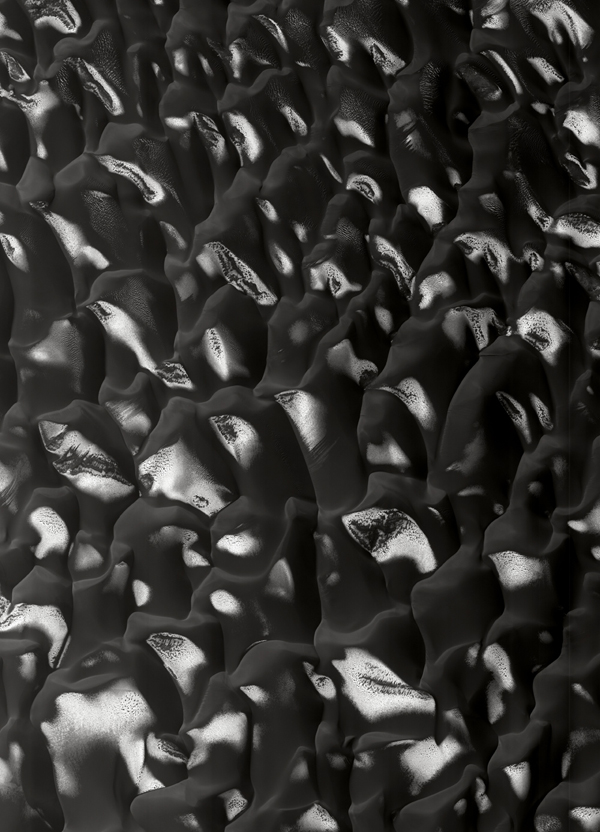
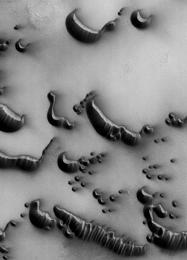
Really . . . this is Mars as it was captured by the U.S. observation satellite MRO (Mars Reconnaissance Orbiter) while assembling a comprehensive photographic map of the surface of the red planet.
In compiling This Is Mars, editor and designer Xavier Barral scoured through tens of thousand of gigabytes worth of NASA's satellite photos searching for the most distinct, curious, and strikingly beautiful images of the planet's surface. From traces of sand whirlwinds, to vast glaciers, to polar dunes, the collection of photographs he's put together is just amazing!
This Is Mars, edited and designed by Xavier Barral, with texts by Alfred S. McEwan, Francis Rocard, and Nicolas Mangold, is due out this October from Aperture.
* All images © NASA/JPL/University of Arizona, from This Is Mars (Aperture, 2013).